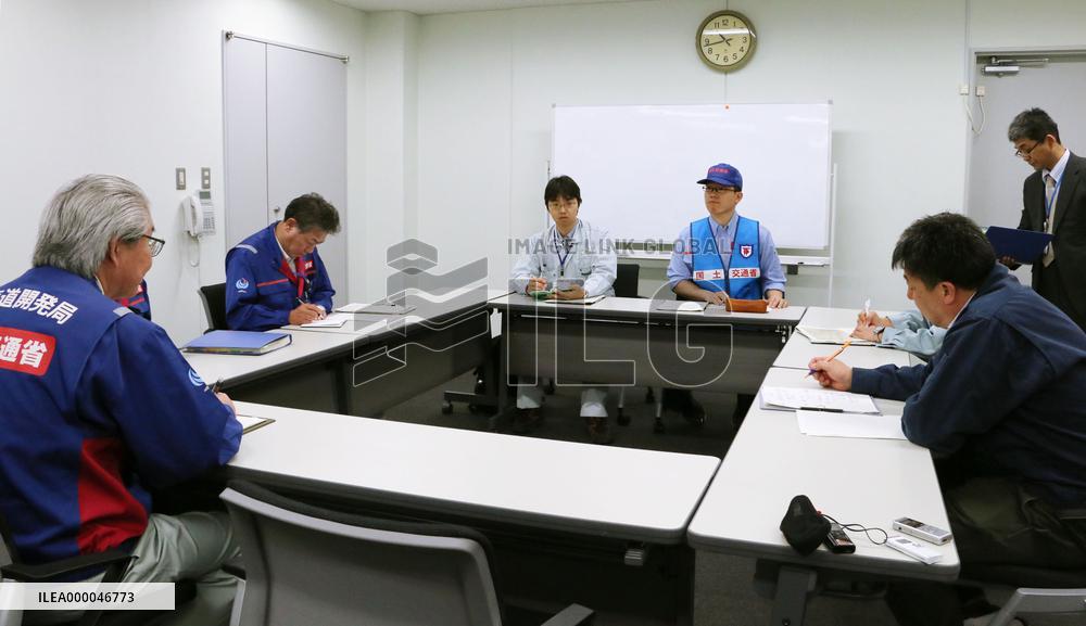
Land ministry's Hokkaido bureau conducts aerial coastline survey
Personnel discuss the findings of an aerial survey conducted by the Ministry of Land, Infrastructure, Transport and Tourism's Hokkaido Regional Development Bureau on an elevated seabed along the coastline in Rausu, Hokkaido, during a meeting held at Nakashibetsu Airport in Japan's northernmost main island on April 27, 2015. (Kyodo) ==Kyodo
- Product Code
- ILEA000046773
- Registered date
- 2015/5/07 18:46:31
- Credit
- Kyodo / Kyodo News Images
- Media source
- Media size
- 3589 × 2074 pixel
- Resolution
- 240 dpi
- Deployment size
- 688.95(KB)*
- Special instruction
*File size when opened in Photoshop, etc.


