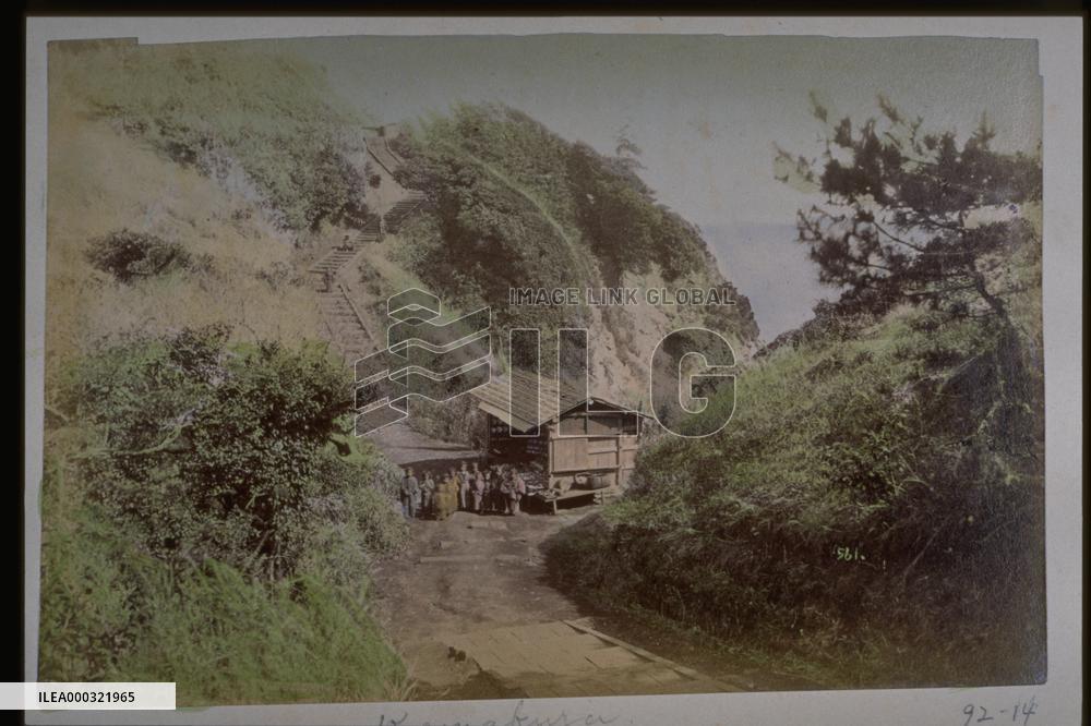
A mountain path and a teahouse
Photographer unknown. Entitled Kamakura. A shack that could be a teahouse is visible between two hills. According to the lithographic map The Illustrated Map of Enoshima, Kugenuma, Zushi, and Kanazawa of 1896, this is probably one of the scenic points around Yamafutatsu (literally Two Mountains ) located between Nakatsumiya and Okitsumiya of Enoshima Shinto Shrine.==Date:unknown, Place:Enoshima, Photo:unknown, (Credit:Nagasaki University Library/Kyodo News Images) [Cabinet Number92‐14‐0]
- Product Code
- ILEA000321965
- Registered date
- 1900/12/31 00:19:00
- Credit
- Nagasaki University Library / Kyodo News Images
- Media source
- Nagasaki University Library
- Media size
- 3072 × 2048 pixel
- Resolution
- dpi
- Deployment size
- 3.83(MB)*
- Special instruction
- **The text may be generated by an automatic translation system**
*File size when opened in Photoshop, etc.


