Tarim Desert Highway - China
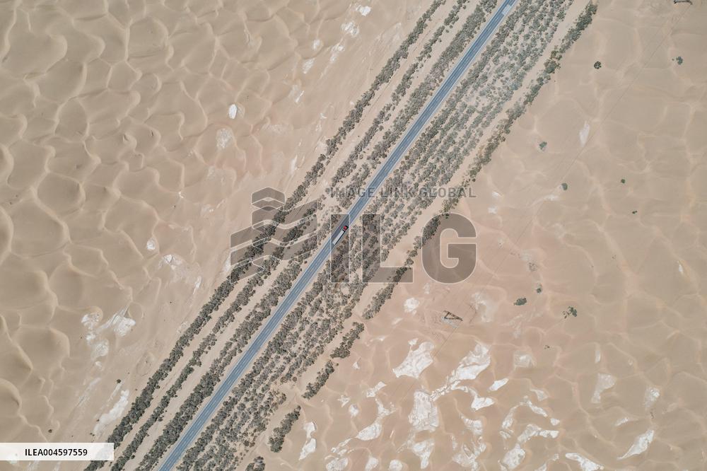
An aerial drone photo taken on July 18, 2025 shows a section of the Tarim Desert Highway and the shelterbelt planted along it in northwest China's Xinjiang Uygur Autonomous Region. The 522-km highway runs across the Taklimakan Desert, the world's second-largest shifting sand desert. Photo by Meng Tao/Xinhua/ABACAPRESS.COM
- Product Code
- ILEA004597559
- Registered date
- 2025/7/18 00:00:00
- Credit
- Abaca Press / Kyodo News Images
- Media source
- Xinhua/ABACA
- Media size
- 5464 × 3640 pixel
- Resolution
- 72 dpi
- Deployment size
- 2.95(MB)*
- Special instruction
*File size when opened in Photoshop, etc.


