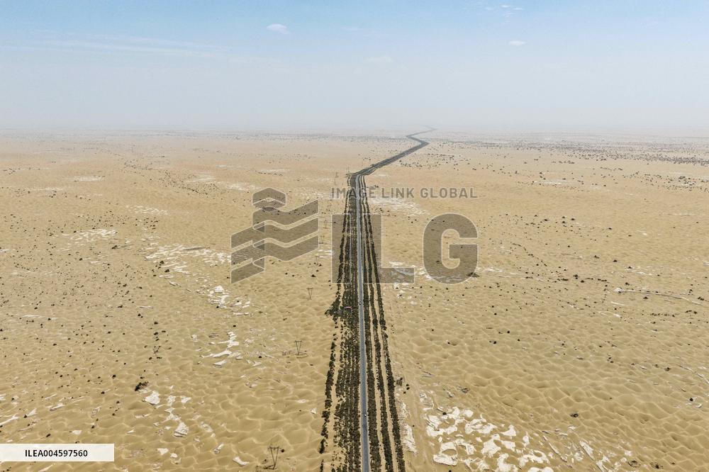
Tarim Desert Highway - China
An aerial drone photo taken on July 18, 2025 shows the Tarim Desert Highway traversing through the Taklimakan Desert and the shelterbelt planted along it in northwest China's Xinjiang Uygur Autonomous Region. The 522-km highway runs across the Taklimakan Desert, the world's second-largest shifting sand desert. Photo by Zhang Keren/Xinhua/ABACAPRESS.COM
- Product Code
- ILEA004597560
- Registered date
- 2025/7/18 00:00:00
- Credit
- Abaca Press / Kyodo News Images
- Media source
- Xinhua/ABACA
- Media size
- 10000 × 6666 pixel
- Resolution
- 72 dpi
- Deployment size
- 2.86(MB)*
- Special instruction
*File size when opened in Photoshop, etc.


