Google Street View in disaster areas
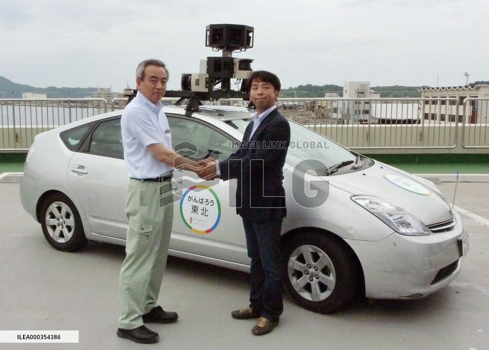
KESENNUMA, Japan - Shigeru Suganuma (L), mayor of Kesennuma, Miyagi Prefecture, shakes hands with an official of Google Inc. in the northeastern Japan city on July 8, 2011, in front of a vehicle used to take Street View pictures. Google said in a press conference in Kesennuma it will take Street View pictures of areas in five Japanese prefectures hit by the March quake and tsunami. (Kyodo)
- Product Code
- ILEA000354386
- Registered date
- 2011/7/08 00:00:00
- Credit
- Kyodo / Kyodo News Images
- Media source
- Media size
- 1820 × 1303 pixel
- Resolution
- 240 dpi
- Deployment size
- 583.24(KB)*
- Special instruction
*File size when opened in Photoshop, etc.