E
E
E
E
E
E
E
E
E
E
E
E
E
E
E
E
E
E
E
E
E
E
E
E
E
E
E
E
E
E
E
E
E
E
E
E
E
E
E
E
E
E
E
E
E
E
E
E
E
E
Editorial
Olympics
News
Sports
Japan
Tech
Royal
Disaster
NorthKorea
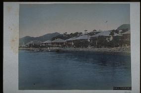
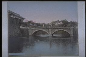
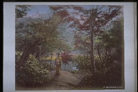
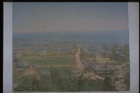
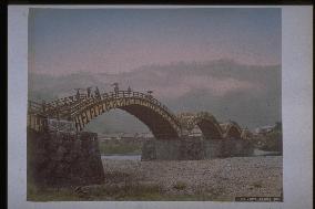
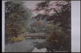
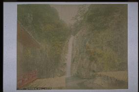
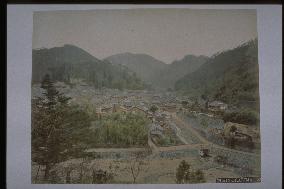
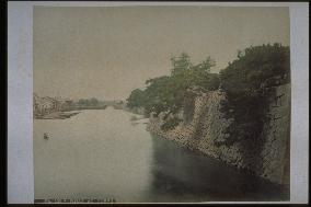
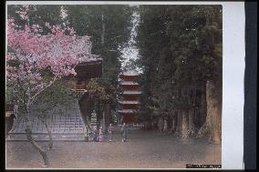
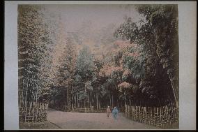
Old Japan
SNS
Creative
Food
Japan
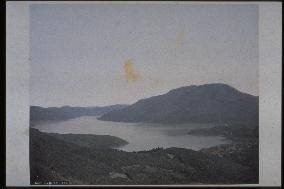
Landscape
Animal
Popular
#Ukraine
#China
#coronavirus
#N. Korea
#Russia
#Thailand
#Ukraine
#China
#coronavirus
#N. Korea
#Russia
#Thailand
Food
Japan
Landscape
Animal
Olympics
News
Sports
Japan
Tech
Royal
Disaster
NorthKorea
Old Japan
SNS